Governments, real-estate developers and
architects will benefit massively from visual communication of
planning, designs and infrastructure in past, present and future.
Benefits and opportunities:
- Communication and information tool towards inhabitants, government
agencies and businesses.
- International awareness through Google Earth's global attention.
- Keep urban planning up to date in Google Earth using Microsoft
Project or other planning software.
- Tourist information in Google Earth.
- Urban planning visualization in Google
Earth or in 3d animations.
- Present your plans using 3d animations or visuals to clients and
planning commissions.
- Show potential buyers and investors your property.
- See what your design does to the surroundings and communicate the
impact using visual media to speed up the decision and design
process.
- Shadow studies.
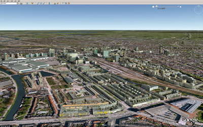
Google Earth screengrab.
Urban planning in Google Earth
Animations.
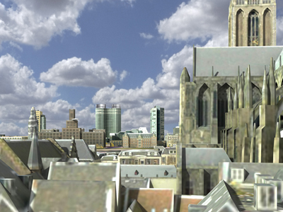
Visuals.
Shadow studies.
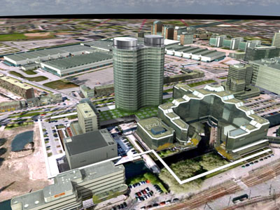
Visuals.
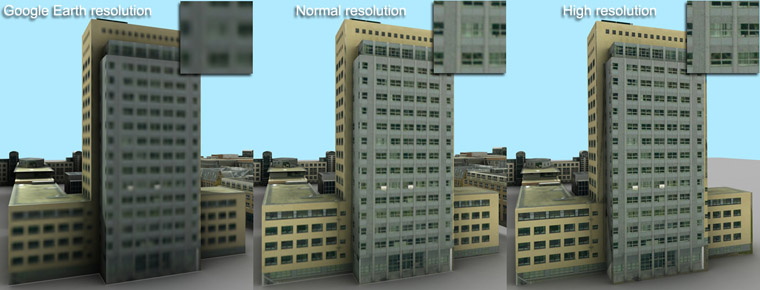
Texture resolutions. Left:
Google Earth resolution. Middle: Normal, as seen
throughout this website. Right: Full resolution, also
suitable for eyelevel walkthrough animations and
virtualizations.
Click here for a higher resolution image.